Bangkok may have a reputation for traffic, but the city also offers one of Southeast Asia’s most diverse public transportation networks. From modern electric trains to river boats and local buses, using public transport in Bangkok is not only affordable and convenient, it’s also one of the most eco-friendly ways to explore the city.
Whether you’re a resident looking to reduce your carbon footprint or a visitor navigating the city for the first time, this guide breaks down the main forms of public transportation in Bangkok and shows you where to find reliable timetable and route information.
Trains
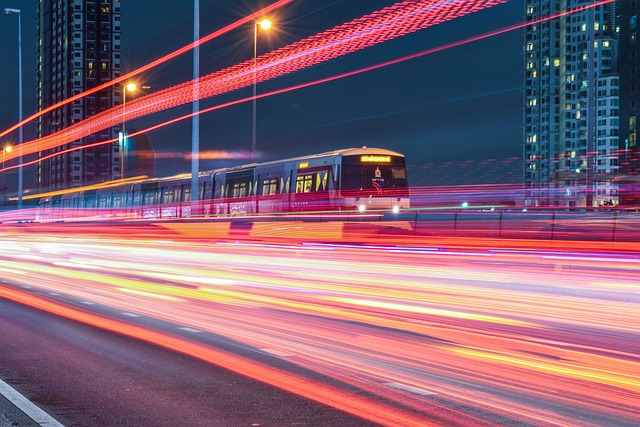
BTS Skytrain (Overground)
The BTS Skytrain is one of the fastest and most convenient ways to travel around central Bangkok. It serves major shopping, business, and residential areas and connects seamlessly with other transport systems.
Key Lines: Sukhumvit Line, Silom Line
Tickets & Info:
You can buy single-journey tickets or Rabbit Cards at stations.
🔗 BTS official website and route maps provide up-to-date fares and timetables.1
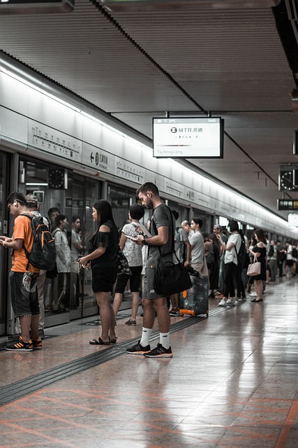
MRT Subway (Underground)
Bangkok’s MRT system complements the BTS and continues to expand across the city.
Current Lines:
- Blue Line (Underground)
- Purple Line
- Yellow & Pink Monorail Lines (newer routes)
Tickets & Info:
Token machines and stored-value cards are available at stations.
🔗 MRT Thailand website offers maps, operating hours, and fare calculators.2
Airport Rail Link (ARL to Suvarnabhumi)
The Airport Rail Link provides a fast, affordable, and environmentally friendly way to travel between Suvarnabhumi Airport and central Bangkok.
Key Stations:
- Phaya Thai
- Makkasan (connected to MRT Phetchaburi)
Timetables & Info:
Available via the Airport Rail Link website and station signage.3
Red Line (To Don Muang Airport)
The Red Line provides a fast, affordable, and environmentally friendly way to travel between Don Muang Airport and central Bangkok.
Key Stations:
- Krungthep Aphiwat / Bang Sue MRT
Timetables & Info:
Available via the Airport Rail Link website and station signage.4
River Boats & Canal Ferries
Bangkok’s waterways offer one of the most scenic and sustainable ways to get around.5
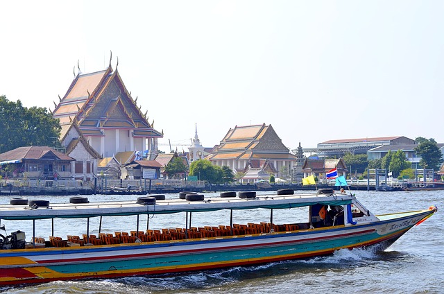
Chao Phraya Express Boat
Runs along the Chao Phraya River, connecting major cultural landmarks. Its very affordable, avoids road traffic and allows for great sightseeing.
Timetables & Info:
🔗 ChaoPhraya Express Boat Official Website
Khlong Saen Saep Canal Boats
A fast, commuter-style service through inner Bangkok canals.
Timetables & Info:
🔗 Their Wikipedia Page
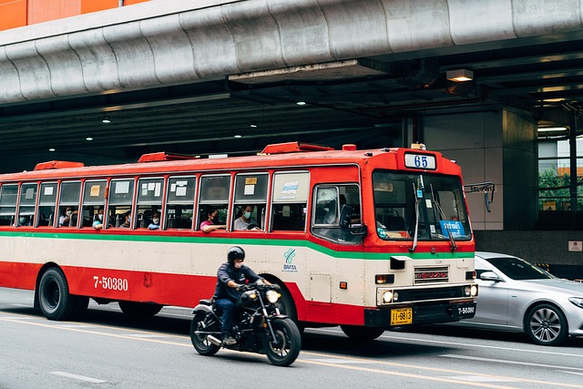
Public Buses
Bangkok’s public bus network is extensive and reaches areas not served by trains. While navigating routes can feel overwhelming at first, buses remain one of the most affordable transport options in the city.
Types of buses:
- Regular buses (no air-conditioning)
- Air-conditioned buses
- Electric buses (increasingly common)
Why use them:
- Low cost
- Improving sustainability with electric fleets
- Covers local neighborhoods and suburbs
Routes & Timetables:
🔗 The BMTA (Bangkok Mass Transit Authority) website and mobile apps like ViaBus provide real-time bus tracking and route planning.6
Songthaews & Local Shared Transport
In outer districts and residential areas, songthaews (shared pickup trucks) function as local buses.
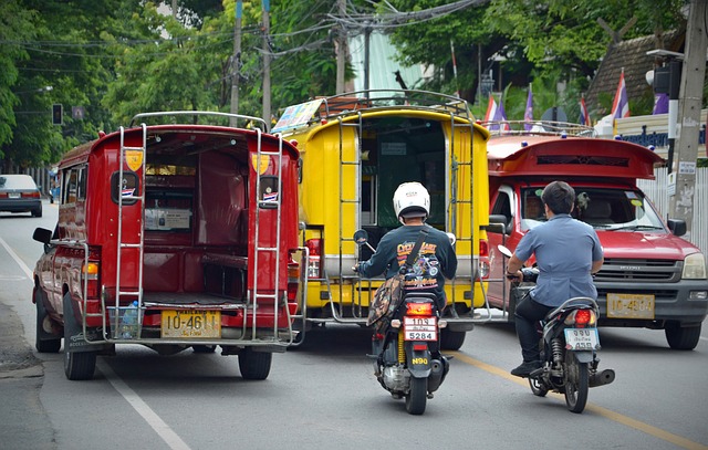
Why use them:
- Supports local livelihoods
- Low-cost community transport
- Complements formal public systems
Routes are usually fixed but informal, so asking locals is often the best way to navigate.7
Apps & Resources for Getting Around Bangkok
To make public transport easier and more efficient, consider using these tools:
- Google Maps – real-time transit directions
- ViaBus – bus routes and live tracking
- BTS & MRT official websites – fares, maps, and service updates
- Transit Bangkok app – multimodal route planning
Why Public Transport Matters for a Greener Bangkok
Choosing public transportation reduces air pollution, lowers carbon emissions, and eases traffic congestion. As Bangkok continues to expand its electric rail and clean-energy bus systems, everyday travel choices play a key role in supporting a more sustainable urban future.
You may also be interested in Cycling Tours in Thailand: Adventure and Eco-Friendly Travel.
- Image by Kawin Piboonsawat from Pixabay ↩︎
- Image by AL BON from Pixabay ↩︎
- Image by Markus Winkler from Pixabay ↩︎
- Image by นายเทพประสิทธิ์ ศรีนุรัตน์เดชา from Pixabay ↩︎
- Image by Laurentiu from Pixabay ↩︎
- Image by Markus Winkler from Pixabay ↩︎
- Image by Anemone123 from Pixabay ↩︎